What Happened
Not a big deal we thought as I had noted where it went in disappearing from view instantly it went down behind the perimeter of the big trees in front. There was no movement of the trees anywhere around, so it most likely crashed just out of view behind these trees. There was no RC contact or FPV signal. Without finding it, we don’t know why it crashed. Possibly a controller problem; it did something similar some months ago, but no damage that time. Since then it has been working well. We had just checked the ESCs, motors and props a couple of minutes before. Not more than just warm and props tight with no damage. No, it was not carrying a lost model tracker. |
Off to search
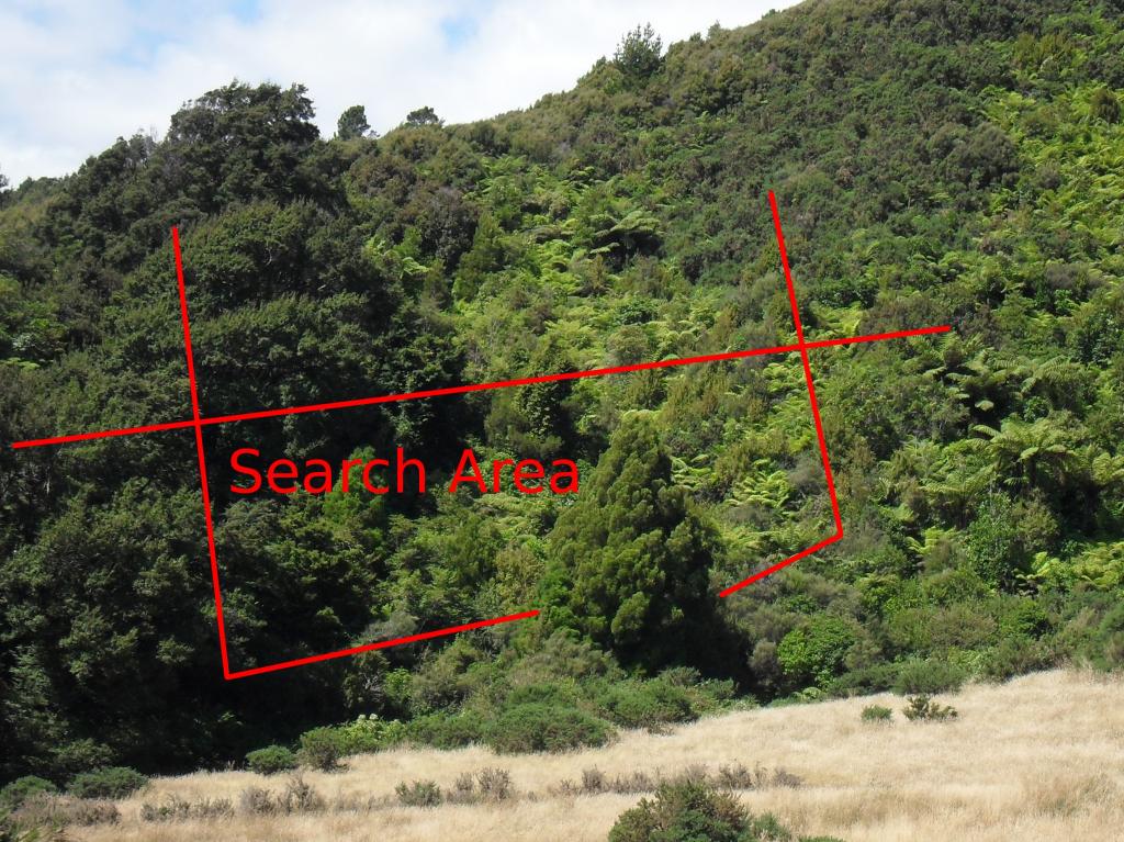
The search area is only 270-350 meters from where we were flying. Not a long way and within visual range. Over the next 8 days we revisited and searched, probably totalling 40-50 man-hours. |
It’s not a large area
Below the track the canopy is dense and high, probably 10-15 meters up. On the ground it is steep, and covered in vines and smaller plants, a lot of ferns and old dead stuff. Above the track the canopy is about 3 meters up. Mostly younger ferns and scrub very dense. You can see only about 2 meters in any direction and it’s very difficult to know where you are within the search area; or even if you are within the search area. |
It looks like it’s lost
This picture was taken in a clearer part of the lower front area. We will probably go back in a week or two for another scout about, in case it fallen from the canopy or we just see it from a different angle. |
What I have learned – GPSI’ve learned a few things from this exercise, or rather reinforced existing thoughts.
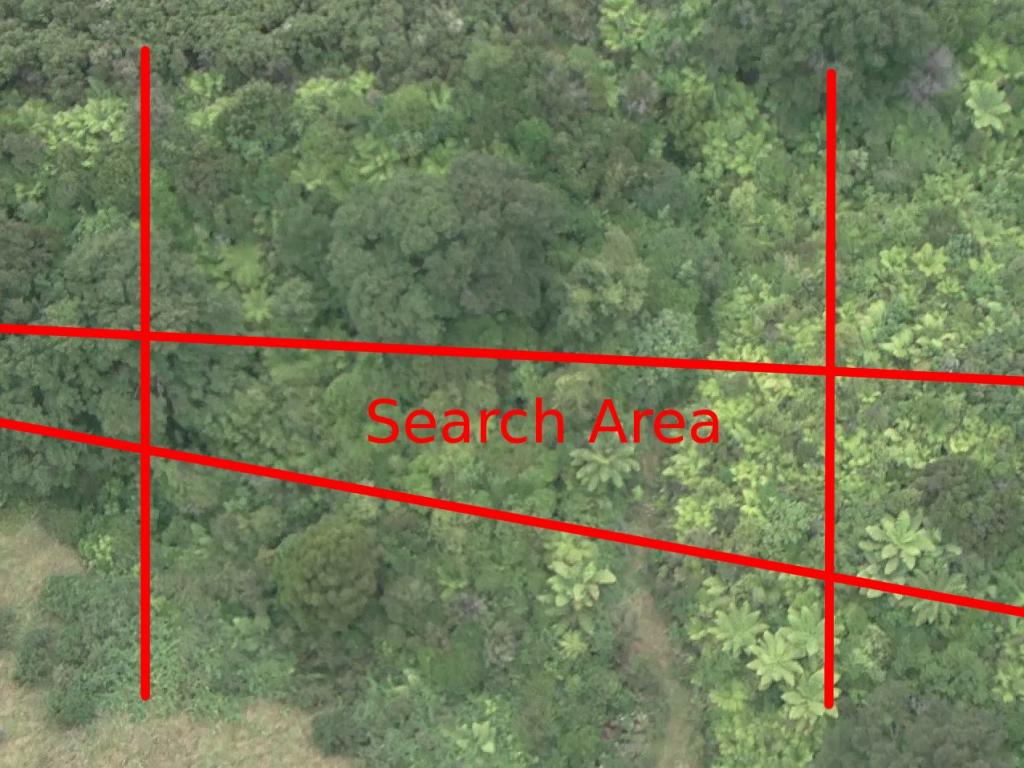
GPS and Google MapsI recorded a track of one search but the alignment error with Google maps was larger than the search area. The Google maps satellite images for this are old and very low resolution. |